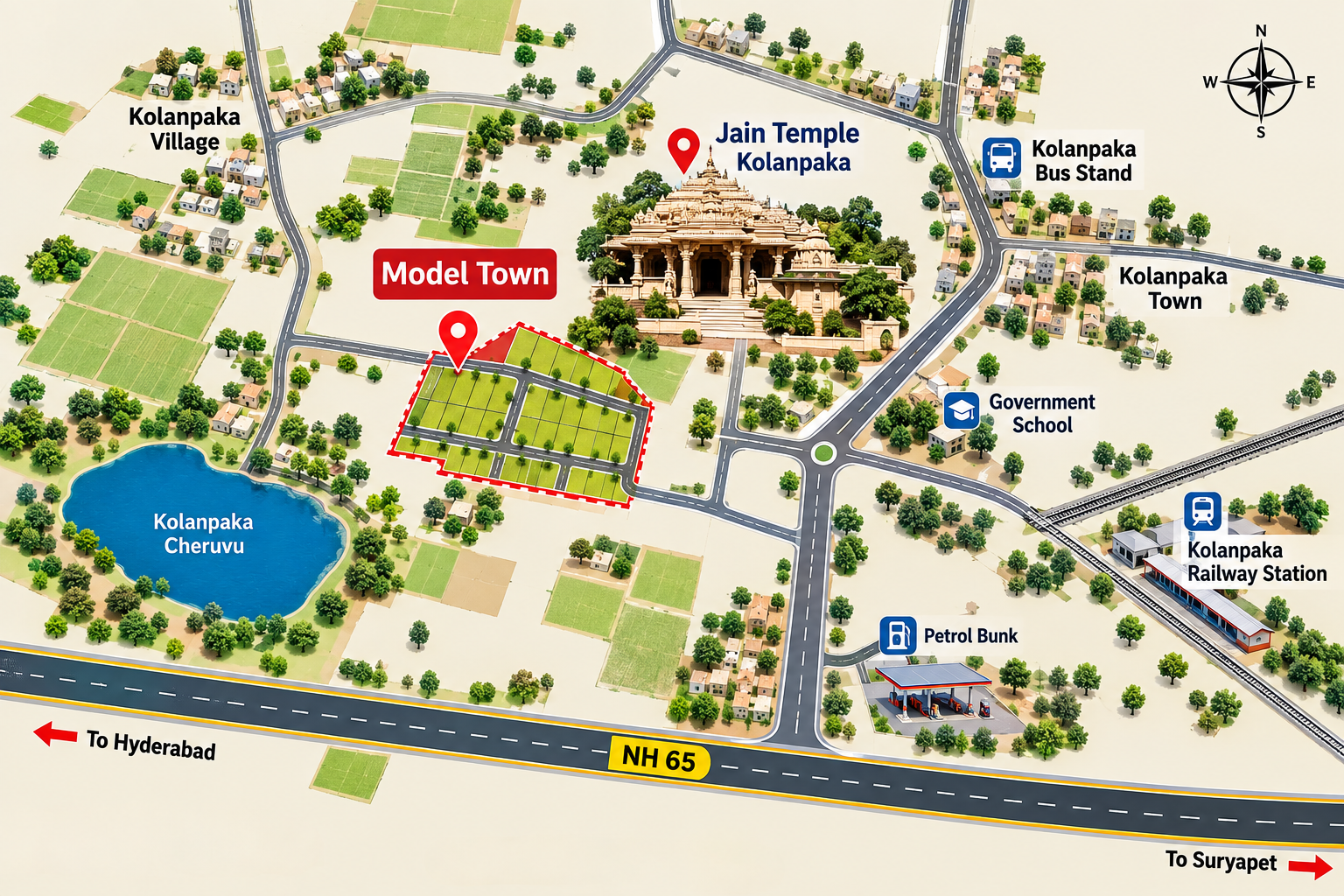
Model Town-I
Near Jain Temple, Kolanpaka — a peaceful setting for residential plots with planned roads and open spaces.
View Model Town-IModel Town-I, Model Town-II and Raghavendra Homes sit around Aler and Kolanpaka, with highway and town connectivity. We share the exact gate pin when you book a visit.
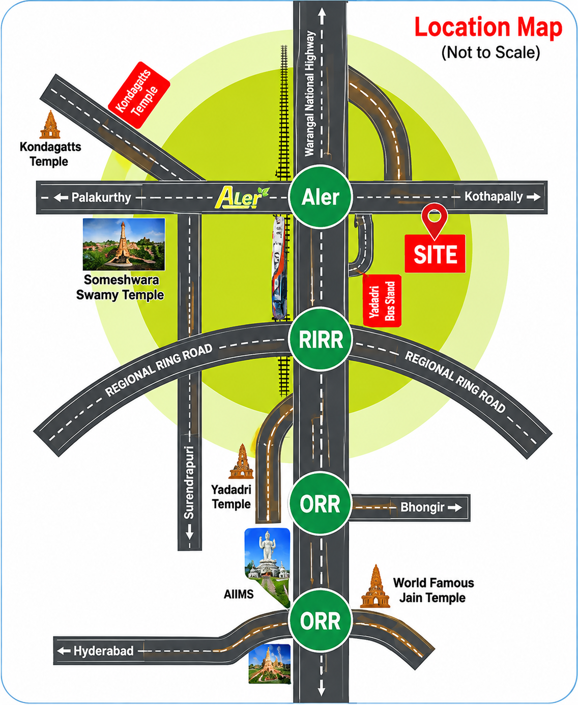
Aler corridor map is indicative and not to scale. We share the exact gate pin when you book a visit.
Near Jain Temple, Kolanpaka — a peaceful setting for residential plots with planned roads and open spaces.
View Model Town-I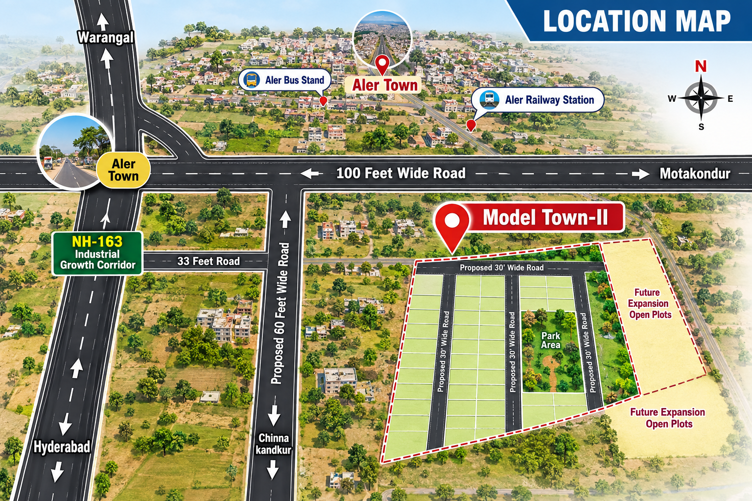
Bahadurpet Village, Aler Municipality, Yadadri-Bhuvanagiri District. Aler–Motakondur 100 Feet Road, about 300 metres from NH-163. Connected to Aler Town, bus stand, railway station, Motakondur, Warangal and Hyderabad.
View Model Town-II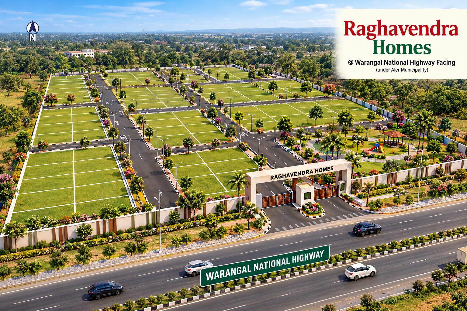
Warangal National Highway facing, under Aler Municipality. Look for the project gate and BhooSampada Developers / Raghavendra Homes board.
View Raghavendra HomesTell us which project you want to visit and we will share the pin and landmarks.
Request directions